Colorado is famous for its fossils and in particular Dinosaur Fossils. It’s rare though to actually find them in the wild (especially if you don’t know what you are looking for). The trail through time hike here takes visitors along a walk where they can see actual fossils embedded in rock. Which is a fun and rare opportunity for many hikers.
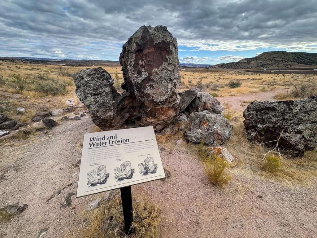
Trail through Time is located in Rabbit Valley, a part of the McInnis National Conservation Area. There is an extensive network of trails through this region of Colorado.
About the Hike
Distance: 1.5 miles | Type: Loop | Avg. Time: 35 mins | Difficulty: easy | Dog Friendly: yes, leashed
The Trail Through Time is a short hike on BLM (Bureau of Land Management) land about 30 minutes outside of Grand Junction Colorado.
The hike is pretty short but has several examples of fossils that can be found along the site. Three dinosaur fossils are marked with information markers and one plant fossil is also marked. Beyond that there are also markers for other historical and geological information about this interpretive trail.
The hike is pretty easy, but there is an elevation gain to access the upper trail of the loop. It’s not a hard gain and there are rest areas a plenty along the trail (a shockingly high number of benches for a short trail).
During the summer, the area also may host archaeologists who are excavating dinosaur and other fossils in the area. You may get experience and even chat with them if you are here during that time.
Please remember to leave no trace. Also, the site is fossil rich and removal without permission of any fossils is illegal.
There are also vault toilets located at the trailhead as well.

Trail Through Time Trailhead & Parking
The trail is located directly off Exit 2 on I-70. Once you exit you’ll see a small parking area on the northside of I-70.
The parking area is a small dirt lot without any spot markings. When I visited, there were several cars here and a few came during my visit as well so it’s well visited but it didn’t seem overly popular.
The lot is next to a road as well that leads to several other OHV roads in the area.
Best Time to Do the Hike
The hike is open year-round and is a pretty easy hike for most of the year. The best time to hike the trail is from late spring to mid-fall when the weather is the best in the region.
Summers in particular can be very hot in the area and the trail has little in the way of shade. You should be sure to bring water as well as sunscreen and perhaps a hat for the weather. The best reason to go in summer is if archaeologists are on site. They tend to focus their stay during the summer months outside of the academic year.
Fall has the best weather of the season and it’s also a lovely time to visit with changing leaves and generally cooler weather.
Winters tend to be very cold in the region and may bring snow and ice. This could make seeing and exploring the fossils more difficult. However, the trail is short so even in the winter if it’s not covered in snow you can probably experience the trail easily.
The Trail Through Time Hike
The trail starts from the parking lot, you’ll see the entrance on the right side of the closed gate when facing the trail. There are several interpretive panels here to discuss the conservation area, dinosaurs, and the quarry.
Continue on the path, there’s a marker on the right about the Jurassic period and then further up on the left vault toilets. Past the vault toilets on your left you’ll see a mound and a panel discussing Paleo soils. Behind you will be a wooden structure with several panels (0.1 miles) on the quarry and dinosaurs.
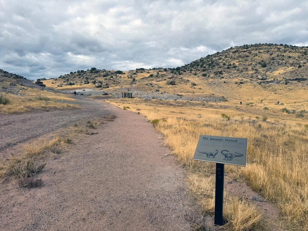
The path continues to the right of the panels (you’ll see an arrow). Less than 0.1 miles after the panels you’ll see the trail split. This is the main loop of the trail.
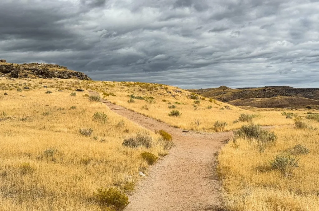
For this guide we went left at the split to the upper trail.
Less than 0.1 mile you’ll see your first fossil, which is the spine/vertebrae of the Camarasaurus. Look closely at the rock ledge behind the sign to see the fossils.
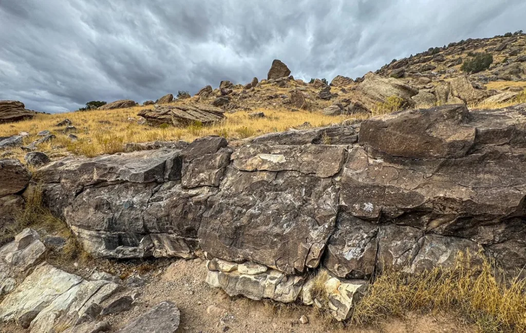
Following this you’ll come to a gate. Be sure to close the gate securely again after you pass through.
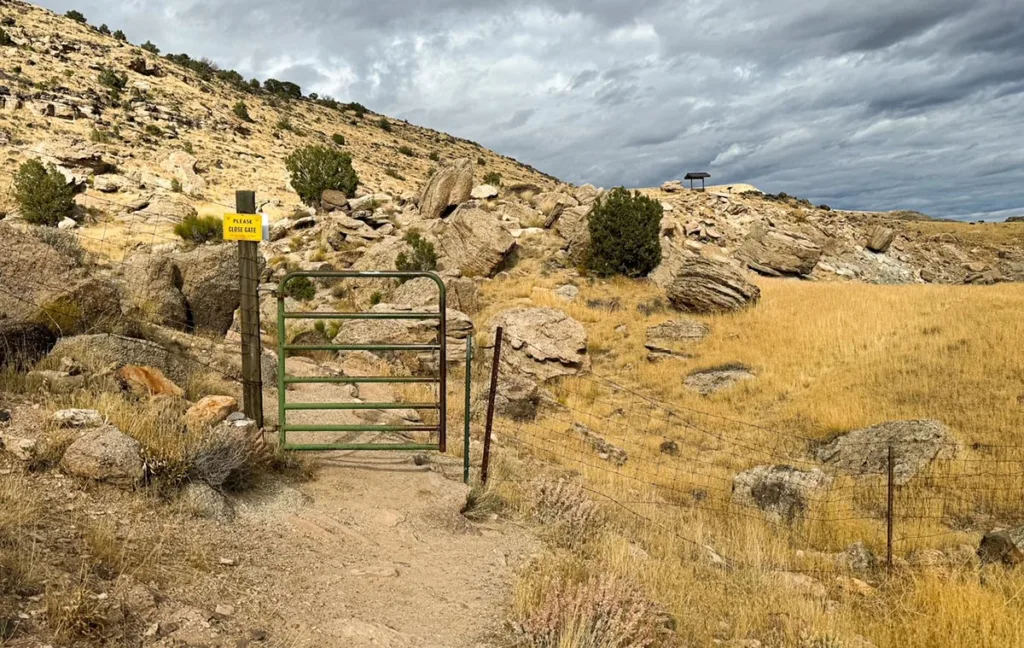
After about 0.1 miles you’ll come to a set of benches. There’s quite a few of these so I’m not going to mark them all. Be sure to look over the Rabbit Valley from here.
The trail will continue to go up and I noticed interestingly that the rocks changed color here. You’ll need to cross this section. I wonder if this is scarring from mining in the area.
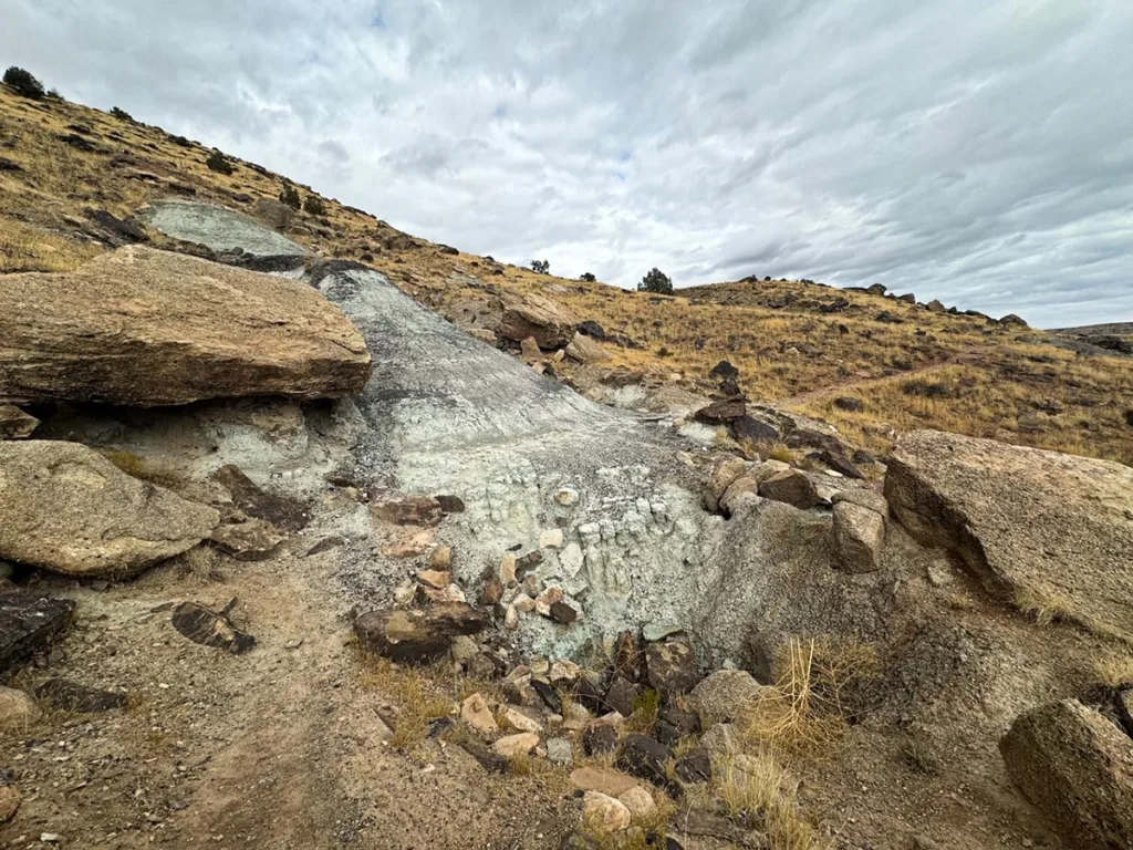
After about another 0.1 miles you’ll see what looks like a split. And in the distance another set of benches. Just follow the trail to the right which will descend and eventually get there.
After another 0.1 miles (about 0.7 miles in total), you’ll see your second dinosaur fossil. These are from Diplodocus. These were my favorite of the various fossils and some of the easiest to see.
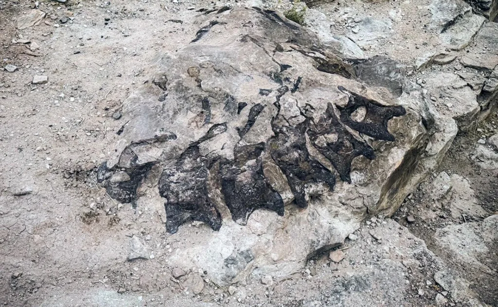
Continue on the trail. There will be a few more panels and after about 0.3 miles you’ll come to another set of benches and a marker. Up the drainage a bit is a claim marker for a mining climb in the area.
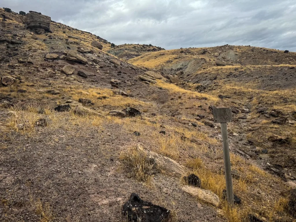
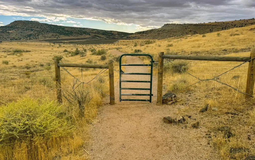
Directly after this you’ll find another gate you need to pass through.
After this is a marker on the left for plant fossils. This was the hardest of the fossils for me to see.
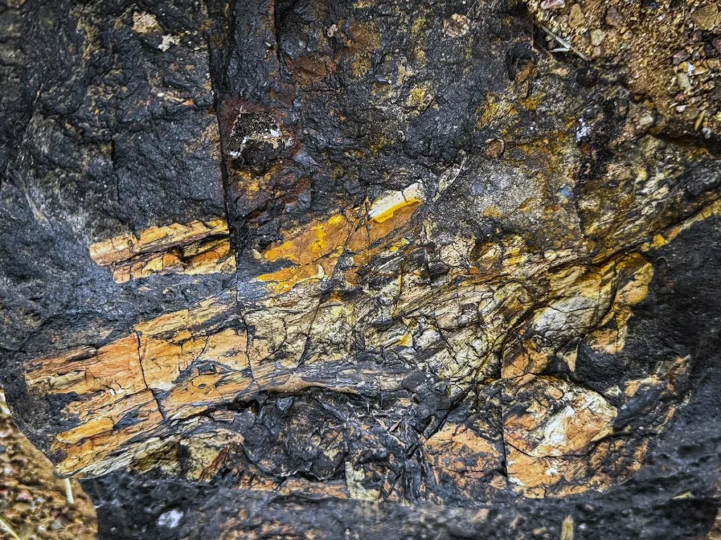
Continue for another 0.1 miles and you’ll see the last of the fossils on your right. This one is particularly cool, it is the fused pelvis of a juvenile sauropod.
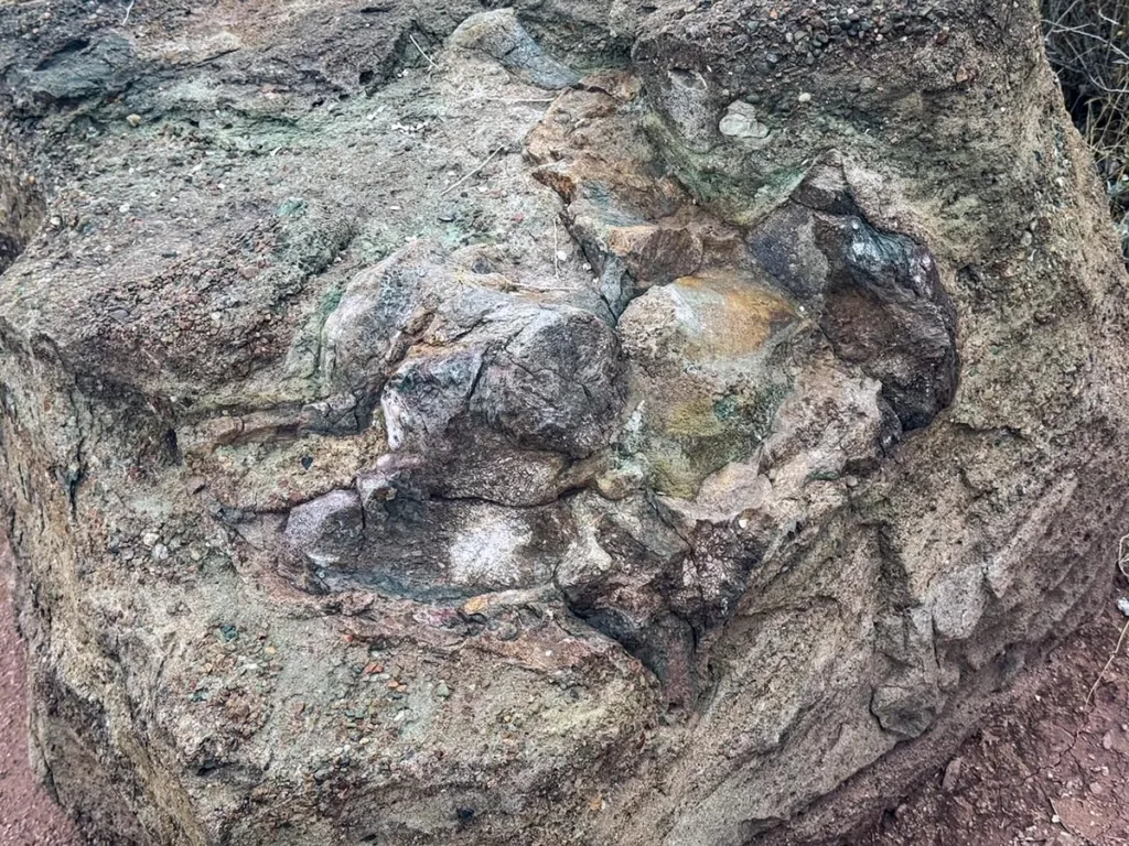
And that’s it, following this last dinosaur fossil, you’ll just need to continue on the next 0.3 miles or so until you return to the parking lot.
Note: There are several extra markers and spots along the trail that I didn’t mention. Such as overlooks, etc. You should definitely keep an eye out for them. Most of them are pretty easy to spot.
Tips & FAQs
- Bring water, sunscreen, and proper clothing. It may be a short hike but you should always be prepared.
- Please be sure to leave no trace. Stay on trail and pick up after pets. This is a sensitive area with rare fossils. You want to limit any damage to the resources.
- The Mygatt-Moore dinosaur quarry is an active dinosaur site. Try to visit during the summer if you can when there are often excavations. Be sure to ask before approaching the dig sites.
- The site is best visited to/from Grand Junction on I-70. It’s really not close to anything else.
Leave a Reply