I love Theodore Roosevelt National Park, and when I recommend folks to go, it is this hike; the Elkblom & Big Plateau I recommend most of all. It is the best day hike in the park and one where you’ll get to experience beautiful views, see wildlife, cross a river, and experience some wild North Dakotan places.

About the Hike
Distance: 5.3 miles | Type: Loop | Avg. Time: 2 -3 hours | Difficulty: Moderate | Dog Friendly: No
If there’s one hike I recommend folks to do in Theodore Roosevelt National Park, it’s the Big Plateau Hike. This hike really does give you a lot of great things to see in Theodore Roosevelt National Park.
You’ll get some incredible views, a fair bit of wildlife, and some great trails to walk through. It’s not too easy and not too difficult as well.
You should plan for some water crossings. You’ll need to cross the Little Missouri River as part of the start of the hike. At least when I was there it was pretty low and you can walk through with relative ease.
I had waterproof boots so it was not an issue. Others took off their shoes to cross.
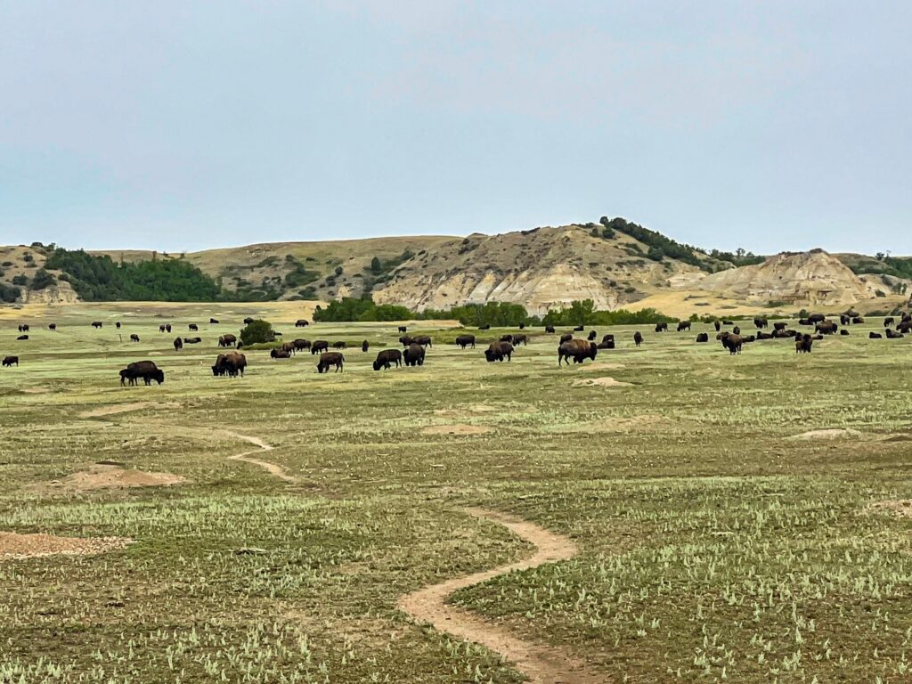
Beyond this on the plateau or other areas of the hike you have a high probability to run into bison and other wildlife. Note, You must keep your distance. They are quite dangerous and especially if you are there in the fall it’s also the Bison rut which is even more dangerous.
I specify this as we saw several groups making bad decisions. The ranger I was with had to flag people and we also had to wait since he was seriously worried if he had to phone search and rescue.
But beyond that you’ll see some great wild places and if you can get the chance I recommend going with a guide as it really added to what we learned too.
Big Plateau Trailhead & Parking
The main parking for Big Plateau is at Peaceful Ranch, located off the main loop road through the South Unit. The parking lot is pretty small, but even around midday I didn’t find it to be too busy. I think that’s one of the benefits of Theodore Roosevelt National Park. It’s definitely far less visited than other National Parks.

From the South Unit visitor center, take the East River Road, when you get to an intersection where the road meets the Scenic Loop Dr, turn left to stay on East River Road. Take the next left to Peaceful Valley Ranch. [ Location on Google ]
You’ll see the trailhead at the end of the parking lot. Be sure to also check out Peaceful Ranch if you have time. It no longer offers horseback riding, but there’s some buildings you can see.
Best Time to Do the Hike
The best time to do the hike is either in the spring or fall when the weather is best. You’ll find the best weather during this time and some of the best views. If you are in the park in early fall, do pay attention that it’s the bison rut season. This can make some areas of the hike more tricky as you may encounter bison on this trail.
Summers (and even fall) in the park can be exceedingly hot. The area is pretty unforgiving during these days and you need to be prepared for heat exhaustion and other heat related problems.
Winters in the park can be very cold. You can get ice and snow on the trails and access to areas can be more difficult. Services in the park and area are very limited during the winters.
The Elkblom & Big Plateau Loop
Oddly enough I didn’t take as many photos on this hike as I usually do. I didn’t really think about it until after. I ended up doing this as a ranger led hike when I ran into a group as I was about to start off the hike.

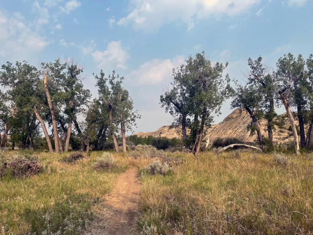
The trail starts out pretty flat and easy. You’ll see the trail from the end and then you’ll run into the river. From here you’ll need to cross the river to get to the rest of the trail. Look for an area that is easy to traverse, depending on the height of the water you may need to get your feet pretty wet.
I was able to cross pretty easily with my waterproof boots across a set of stones, but some of the folks in my group took off their shoes to cross. Just note that there’s a lot of rocks so be careful!
After about 0.2 miles you’ll come to the main intersection for the loop. The hike can be done in either direction. Clockwise is steeper ascent to the plateau with a shallower descent, with counter clockwise the opposite. I ended up doing it clockwise as that was what our ranger guide suggested for us. It was easier on the knees.
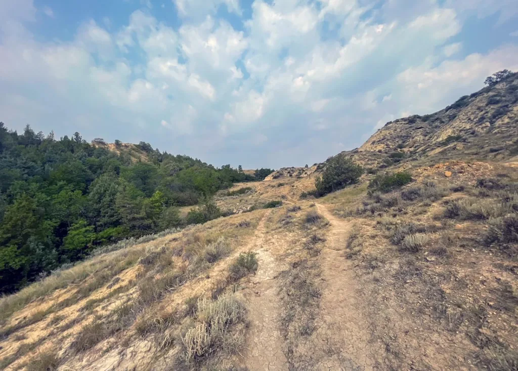
The trail will start to climb here. You’ll be walking through some beautiful brush.

You’ll actually continue on this trail for a bit and climb as you go. You’ll be following this trail for about 1.5 miles until you get to the top of the plateau.
Here’s where it gets to a big open area and where the name of the hike comes from. This is also where we saw the bison, and wow there were a lot of bison.

For us the bison were taking up the entirety of the middle of the plateau. We kept to the left as we crossed based on the ranger’s suggestions. He made us stay near the edge in case the bison changed and we needed to drop on the side to be out of harm’s way.

THIS is important. The bison were also during rut (mating season) and so they were fighting and more aggressive as well. We also saw several folks (even ones with little kids) try to go through the center of the bison herd. This was stupid and dangerous. Don’t be these people.
The views from the top of the plateau were pretty incredible though too. We recommend taking some time to admire how far you can see.

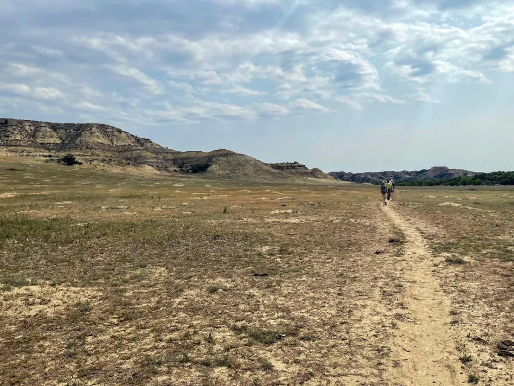
From here the trail junctioned and connected to the Maah Daah Hey trail. You’ll only be on such a small section of this trail, but it is one of the longest and most famous in the area.

FUN FACT! The Maah Daah Hey Trail is a 144-mile non-motorized trail that runs from about 30 miles south of Medora to about 16 miles south of Watford (north of the North Unit). Pretty incredible indeed. Some areas are really quite remote, but take you through the most amazing landscapes of the North Dakota badlands.
From here we got to catch some feral horses that are in the park. You can hopefully see some as we did as well.

After about 1.4 miles the trail will get pretty flat. You’ll be on this for a bit under ½ mile.

You’ll eventually connect with the Elkbom trail after about a total of like 1.8 miles on the Maah Daah Hey trail. From you’ll be about 0.6 miles until the beginning of the loop, then another 0.2 miles to the river crossing and then another final 0.3 miles until you are back at the trailhead again.

Tips & FAQs
- Be Wildlife Aware: Keep your distance from any Bison you see. Walk outside of the bison herd and be prepared to protect yourself if they charge.
- Bring Lots of Water: It’s surprisingly hot during much of the high season in the park. You’ll probably consume more water than you expect.
- Bring good footwear. There’s lots of uneven ground and a river you’ll need to cross.
- Stay on the trail. Parts of the area are considered wilderness. You don’t want to impact more than necessary.
- Go with a Ranger if you can. It’s a popular Ranger led hike. It really added a lot to the info and history and kept us on trail.
Other Posts You May Like
- NORTH DAKOTA: Visiting Knife River Indian Villages National Historic Site
- NORTH DAKOTA: Things to Do in Fargo North Dakota
- SOUTH DAKOTA: Minuteman Missile National Historic Site
- SOUTH DAKOTA: Best Hikes in Badlands National Park (Easy to Harder)
- MULTI: Epic Minneapolis to Yellowstone National Park Road Trip (via North Dakota)
Leave a Reply